http://gis.stackexchange.com/questions/69907/easiest-way-to-create-historical-street-maps-using-qgis
http://gis.stackexchange.com/questions/56615/how-to-add-another-layer-origin-in-my-installed-openlayers-plugin
http://gis.stackexchange.com/questions/70648/using-custom-source-for-qgis-openlayers-plugin
For the Bergfex tile source you can find the working html-file here:
https://gist.github.com/gimoya/6450983

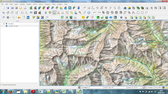
perfect! Thank you very much. Now i can perfectly view my GPS-tracks from my hiking-tours in austria on the official austrian map!
ReplyDeleteYou are my HERO!
THX